This website uses first-party cookies but respects your privacy. When using this website, these Terms and Conditions apply.

Home

aire2eden

78 miles of railway heritage between Hellifield and Carlisle.

Home Settle Carlisle Railway Conservation Area (SCRCA)
  • Virtual Visit
  • Tours
  • Explore
  • Places (Gazetteer)
  • Articles

78 miles of railway heritage between Hellifield and Carlisle

Image Gallery

A public view to display recently uploaded images.

Show / hide tips below.
  • If desired, set the filters, then click /tap the 'Apply Filter' button to display matching images.
  • The images are sorted by date of upload (most recent first), then image title.
  • To view a larger version of an image, click on its thumbnail. If you are using a device with a screen width of 400px or more and with JavaScript enabled, you should be able to view the images in a slideshow overlay.
    (NB: The slideshow will NOT run on devices with a screen width of less than 400px, or if you attempt to open it in a new window.)
  • To view any notes associated with an image, click / tap on the relevant 'Open image page' link.
  • To view images for a specific location, use the Gazetteer.

Uploaded on 2022-12-06

Photo as per caption. Opens larger version.

Image Date
28 April 1956
Brief Description
Long Preston Station, looking NW (with 45589 heading the Forth-Thames Express).
Are there any Image Notes?
Yes.
Contributor's Ref
N/A.

Open image page

Uploaded on 2022-12-06

Photo as per caption. Opens larger version.

Image Date
19937
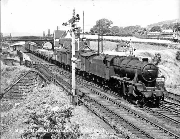
Brief Description
Long Preston Station, looking NW (with 48652 on a southbound freight train).
Are there any Image Notes?
Yes.
Contributor's Ref
N/A.

Open image page

Uploaded on 2022-12-05

Photo as per caption. Opens larger version.

Image Date
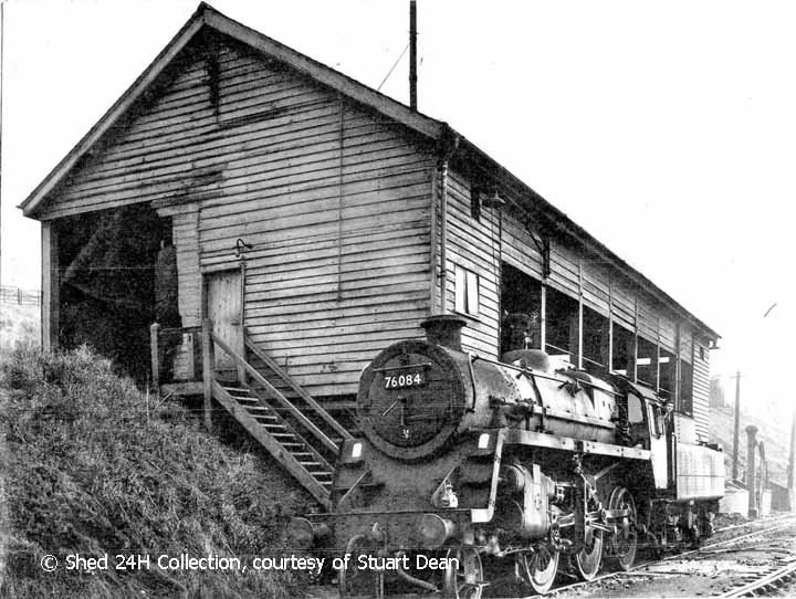
Brief Description
Hellifield MPD Engine Shed, elevation view from the south-southwest.
Are there any Image Notes?
No.
Contributor's Ref
N/A.

Open image page

Uploaded on 2022-12-05

Photo as per caption. Opens larger version.

Image Date
Brief Description
Hellifield MPD Coal Drop, elevation view from the west.
Are there any Image Notes?
No.
Contributor's Ref
N/A.

Open image page

Uploaded on 2022-12-05

Photo as per caption. Opens larger version.

Image Date
Winter 1965
Brief Description
Hellifield North Junction Signal Box, elevation view from the west.
Are there any Image Notes?
No.
Contributor's Ref
N/A.

Open image page

Uploaded on 2022-12-05

Photo as per caption. Opens larger version.

Image Date
Summer 1965
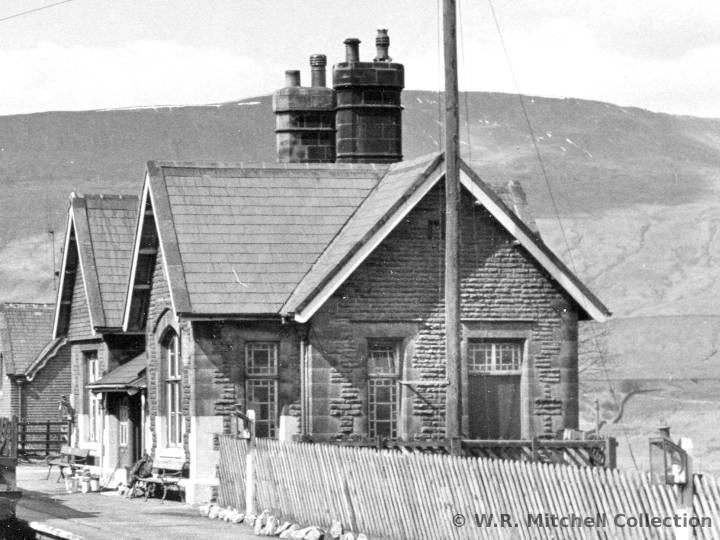
Brief Description
Ribblehead Station booking office, elevation view from the southeast.
Are there any Image Notes?
Yes.
Contributor's Ref
N/A.

Open image page

Uploaded on 2022-12-05

Photo as per caption. Opens larger version.

Image Date
Summer 1965
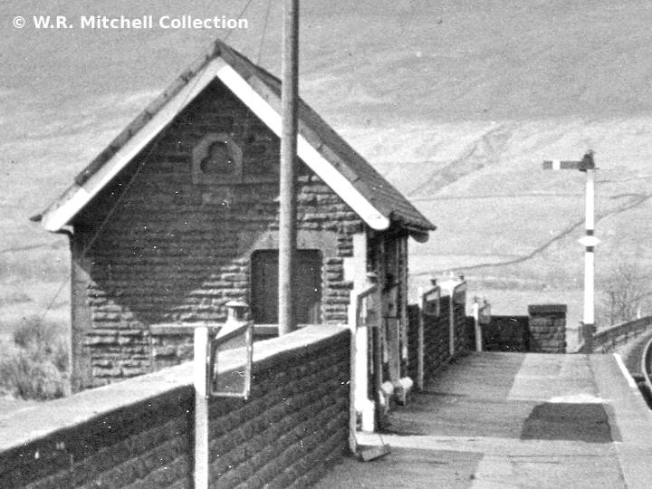
Brief Description
Ribblehead Station 'down' waiting shelter, elevation view from the southeast.
Are there any Image Notes?
Yes.
Contributor's Ref
N/A.

Open image page

Uploaded on 2022-11-25

Photo as per caption. Opens larger version.

Image Date
21 February 2021
Brief Description
288540 Platelayers Hut - south elevation
Are there any Image Notes?
No.
Contributor's Ref
N/A.

Open image page

Uploaded on 2022-11-25

Photo as per caption. Opens larger version.

Image Date
21 February 2021
Brief Description
288540 Platelayers Hut - context view from the south
Are there any Image Notes?
No.
Contributor's Ref
N/A.

Open image page

Uploaded on 2022-11-25

Photo as per caption. Opens larger version.

Image Date
21 February 2021
Brief Description
Milepost 288½ - context view from the north
Are there any Image Notes?
No.
Contributor's Ref
N/A.

Open image page

Uploaded on 2022-11-25

Photo as per caption. Opens larger version.

Image Date
19 August 2020
Brief Description
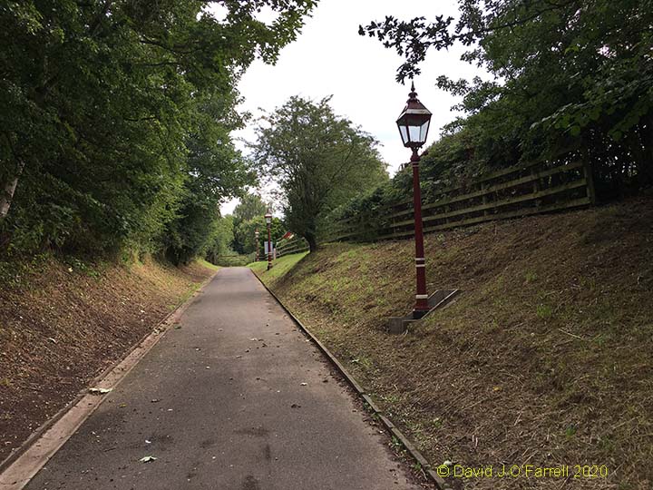
Langwathby Station Up Platform access path
Are there any Image Notes?
No.
Contributor's Ref
N/A.

Open image page

Uploaded on 2022-11-25

Photo as per caption. Opens larger version.

Image Date
19 August 2020
Brief Description
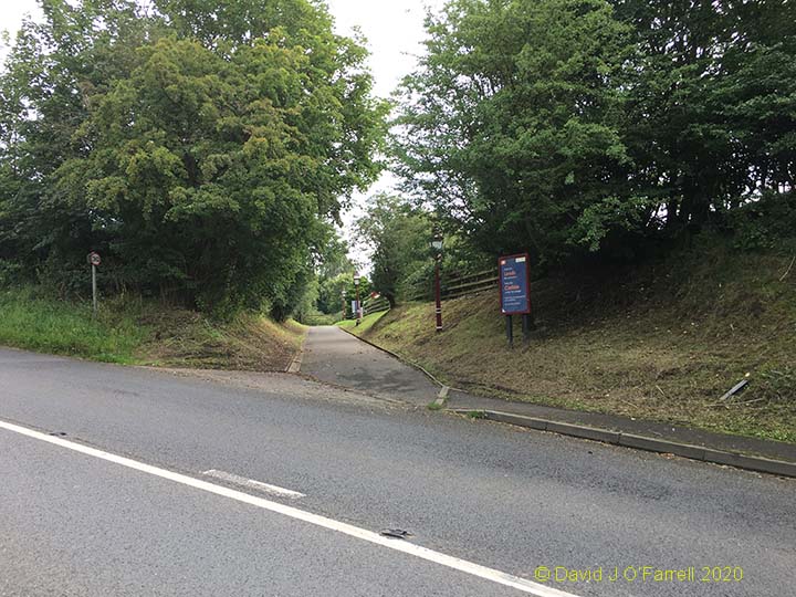
Langwathby Station Up Platform access
Are there any Image Notes?
No.
Contributor's Ref
N/A.

Open image page

Uploaded on 2022-11-25

Photo as per caption. Opens larger version.

Image Date
24 November 2022
Brief Description
Milepost 281¼ - north elevation
Are there any Image Notes?
No.
Contributor's Ref
N/A.

Open image page

Uploaded on 2022-11-25

Photo as per caption. Opens larger version.

Image Date
24 November 2022
Brief Description
Milepost 281¼ - context view from the north
Are there any Image Notes?
No.
Contributor's Ref
N/A.

Open image page

Uploaded on 2022-11-25

Photo as per caption. Opens larger version.

Image Date
24 November 2022
Brief Description
Bridge SAC/257 - Context view from the north
Are there any Image Notes?
No.
Contributor's Ref
N/A.

Open image page

Uploaded on 2022-10-05

Photo as per caption. Opens larger version.

Image Date
3 October 2022
Brief Description
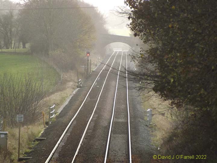
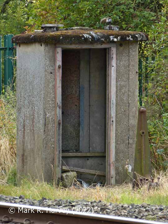
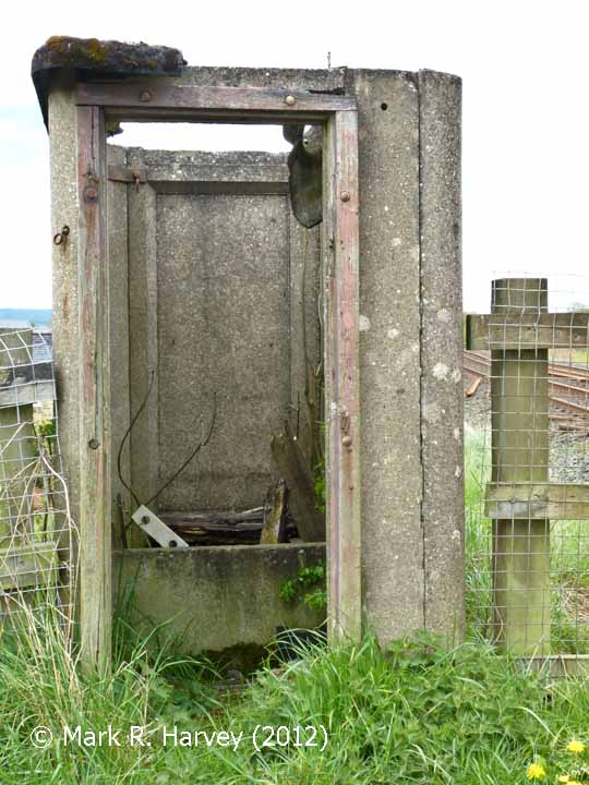
'Down' Fog hut near Haw Lane, elevation view from the NNW.
Are there any Image Notes?
No.
Contributor's Ref
PAI_062

Open image page

Uploaded on 2022-10-05

Photo as per caption. Opens larger version.

Image Date
3 October 2022
Brief Description
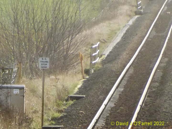
Fog hut and the associated 'Down' stop signal, context view from the NNW.
Are there any Image Notes?
No.
Contributor's Ref
PAI_063

Open image page

Uploaded on 2022-10-05

Photo as per caption. Opens larger version.

Image Date
3 October 2022
Brief Description
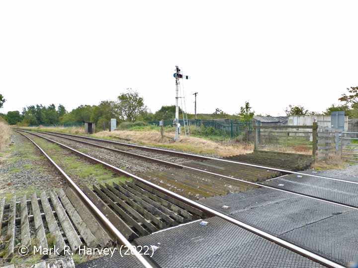
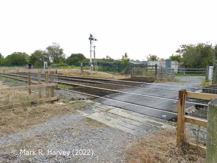
Haw Lane Crossing, 'Down' fog hut & site of Hellifield old station, from NNW.
Are there any Image Notes?
No.
Contributor's Ref
PAI_068

Open image page

Uploaded on 2022-10-05

Photo as per caption. Opens larger version.

Image Date
3 October 2022
Brief Description
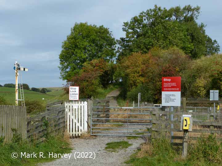
Haw Lane Crossing and site of adjacent hut, context view from the south (2).
Are there any Image Notes?
No.
Contributor's Ref
PAI_053

Open image page

Uploaded on 2022-10-05

Photo as per caption. Opens larger version.

Image Date
3 October 2022
Brief Description
Haw Lane Crossing and site of adjacent hut, context view from the south (1).
Are there any Image Notes?
No.
Contributor's Ref
PAI_052

Open image page

Uploaded on 2022-10-05

Photo as per caption. Opens larger version.

Image Date
3 October 2022
Brief Description
Haw Lane Crossing, 'Down' fog hut & site of Hellifield old station, from NNW.
Are there any Image Notes?
No.
Contributor's Ref
PAI_065

Open image page

Uploaded on 2022-10-04

Photo as per caption. Opens larger version.

Image Date
8 May 2012
Brief Description
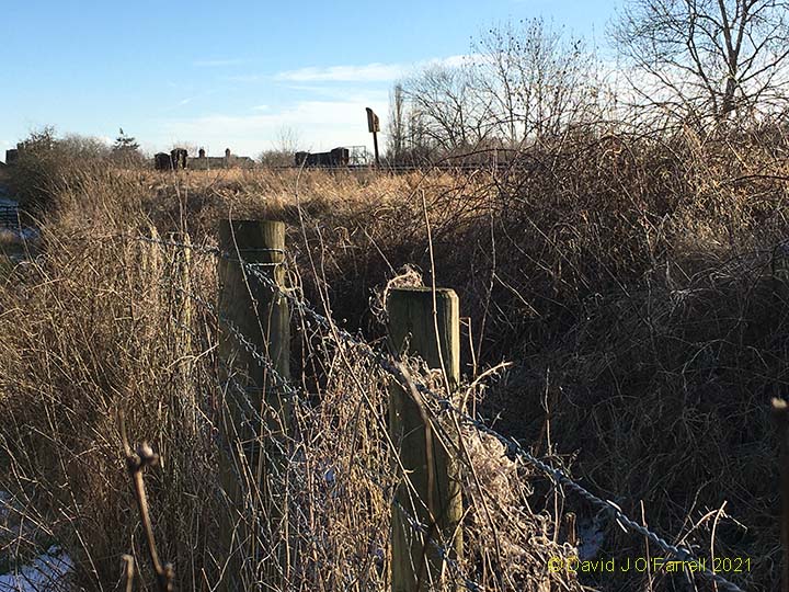
'Fog hut' style structure beside Haw Lane Crossing, east elevation.
Are there any Image Notes?
No.
Contributor's Ref
N/A.

Open image page

Uploaded on 2022-09-03

Photo as per caption. Opens larger version.

Image Date
18 April 2014
Brief Description
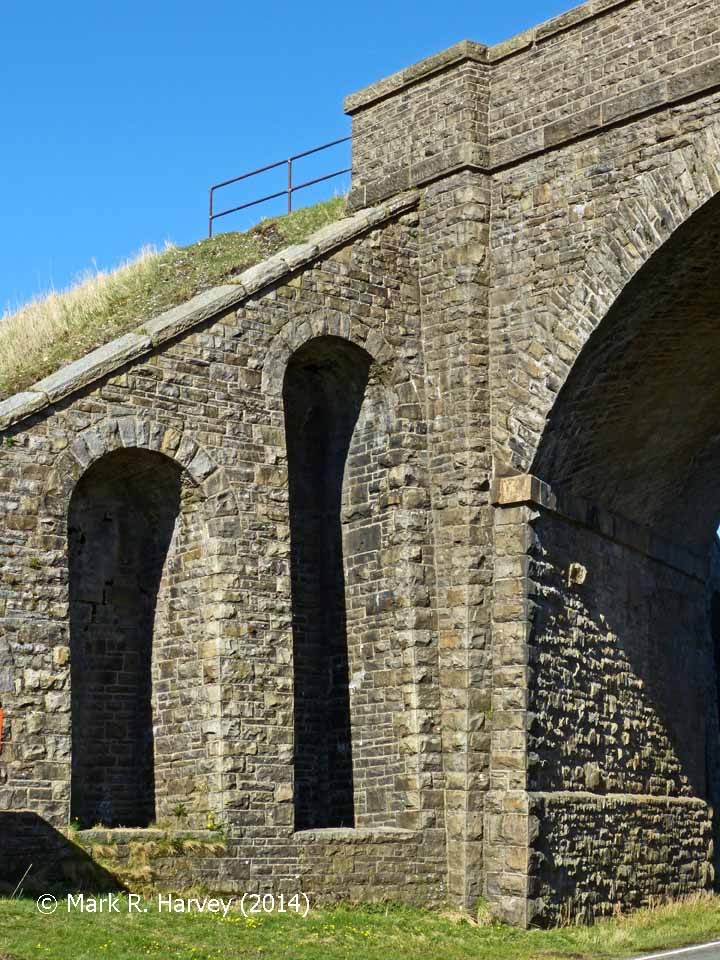
Bridge SAC/118 (Moorcock Road), underside of stone arch, looking north.
Are there any Image Notes?
No.
Contributor's Ref
PAE_349a

Open image page

Uploaded on 2022-09-03

Photo as per caption. Opens larger version.

Image Date
18 April 2014
Brief Description
Bridge SAC/118 (Moorcock Road), west parapet and north west wing wall.
Are there any Image Notes?
No.
Contributor's Ref
PAE_347a

Open image page

Pages

  • « first
  • ‹ previous
  • …
  • 7
  • 8
  • 9
  • 10
  • 11
  • 12
  • 13
  • 14
  • 15
  • …
  • next ›
  • last »

Page 11 of 340 - Records 241 to 264 of 8143.

SCRCA Project:

  • Introduction and Overview
  • Background and Context
  • Contributors (Acknowledgements)
  • Getting Involved
  • Plea for Information and Images
  • Data Control, Copyright and Usage

Jargon Busting:

  • Glossary of Terms
  • Location Types
  • Location Variants
  • Construction Periods
  • Protection Categories
  • Listed Structures and Scheduled Sites

Further Reading:

  • Building the line
  • Operating the line
  • Historic Structures
  • Conservation & Archaeology
  • General References
  • Site Index

Search:

  • Search this website Search Icon

 
Get in touch:

  • Contact form

 
Social Media:

  •     

The SCRCA Web-Portal was designed and developed by Mark R. Harvey. Moral Rights and Database Rights have been asserted. All text and images are protected by copyright and all rights are reserved.
© Mark R. Harvey
unless otherwise stated. No liability can be accepted for errors or omissions in the information provided on this website, or for any consequences arising therefrom. Back to top Back to top