
 Settle Carlisle Railway Conservation Area (SCRCA)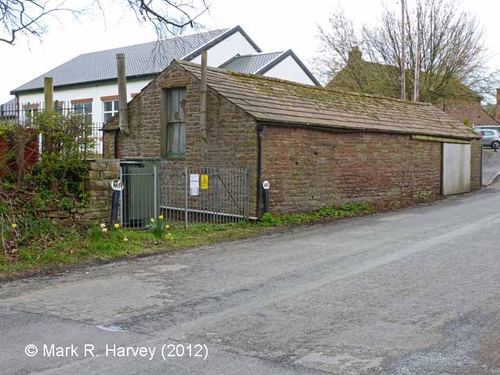
Brief description:
Lazonby Townfoot water-rights boundary marker (NE): Context view from the north
The north-east marker (this structure) is the one to the left of the former gateway.
For a brief explanation of the purpose of the boundary markers, see: https://www.foscl.org.uk/content/scrca-image-2925202012-04-10mrhmrboundary-mkr-swcontext-nw
Image Type:
Context view
Image Contributor(s):
SCRCA Project Contributor: Mark R. Harvey
Image Date:
Tuesday, April 10, 2012
Location Reference(s):