This website uses first-party cookies but respects your privacy. When using this website, these Terms and Conditions apply.

Home

aire2eden

78 miles of railway heritage between Hellifield and Carlisle.

Home Settle Carlisle Railway Conservation Area (SCRCA)
  • Virtual Visit
  • Tours
  • Explore
  • Places (Gazetteer)
  • Articles

78 miles of railway heritage between Hellifield and Carlisle

Image Gallery

A public view to display recently uploaded images.

Show / hide tips below.
  • If desired, set the filters, then click /tap the 'Apply Filter' button to display matching images.
  • The images are sorted by date of upload (most recent first), then image title.
  • To view a larger version of an image, click on its thumbnail. If you are using a device with a screen width of 400px or more and with JavaScript enabled, you should be able to view the images in a slideshow overlay.
    (NB: The slideshow will NOT run on devices with a screen width of less than 400px, or if you attempt to open it in a new window.)
  • To view any notes associated with an image, click / tap on the relevant 'Open image page' link.
  • To view images for a specific location, use the Gazetteer.

Uploaded on 2019-12-01

Photo as per caption. Opens larger version.

Image Date
4 August 1986
Brief Description
Dent Station, context view from the north-northwest.
Are there any Image Notes?
No.
Contributor's Ref
DentStationAug1989m

Open image page

Uploaded on 2019-12-01

Photo as per caption. Opens larger version.

Image Date
2 August 1986
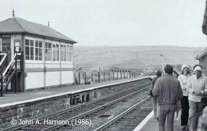
Brief Description
Garsdale Signal Box and Moorcock Viaduct, viewed from the 'down' platform.
Are there any Image Notes?
No.
Contributor's Ref
GarsdaleAug1986m

Open image page

Uploaded on 2019-12-01

Photo as per caption. Opens larger version.

Image Date
21 August 1976
Brief Description
Kirkby Stephen Goods Shed, east elevation (with the signal box and station beyond).
Are there any Image Notes?
No.
Contributor's Ref
KirbyStephenSep1976, but month was Aug.

Open image page

Uploaded on 2019-11-29

Photo as per caption. Opens larger version.

Image Date
21 May 2019
Brief Description
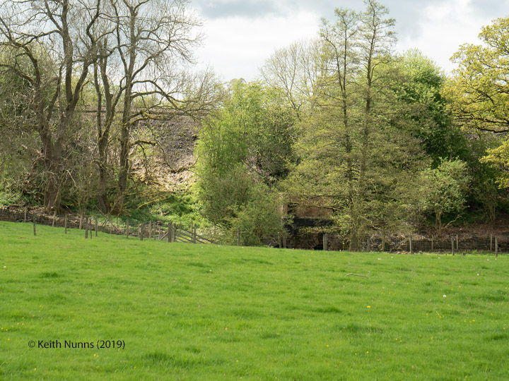
253170: Culvert (1' 9"" diameter) Blind Gill: Elevation view from the East
Are there any Image Notes?
Yes.
Contributor's Ref
N/A.

Open image page

Uploaded on 2019-11-29

Photo as per caption. Opens larger version.

Image Date
21 May 2019
Brief Description
253170: Culvert (1' 9"" diameter) Blind Gill: Elevation view from the East
Are there any Image Notes?
Yes.
Contributor's Ref
N/A.

Open image page

Uploaded on 2019-11-29

Photo as per caption. Opens larger version.

Image Date
24 May 2019
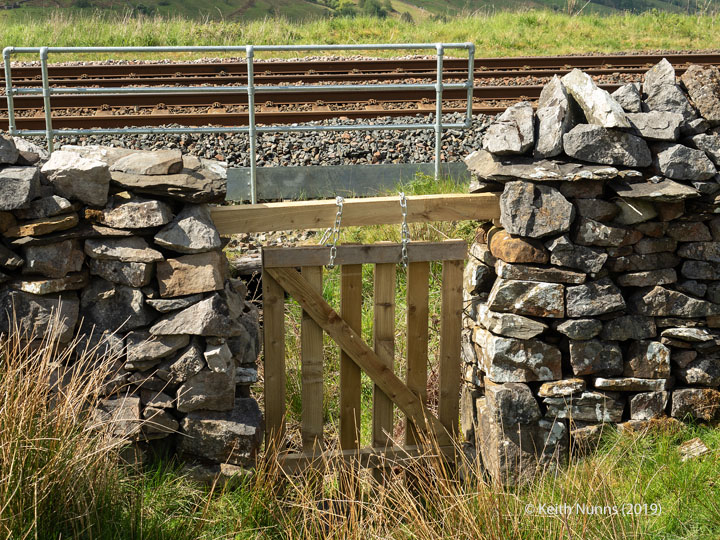
Brief Description
253230: Culvert (1' 9"" diameter): Detail view from the South
Are there any Image Notes?
Yes.
Contributor's Ref
N/A.

Open image page

Uploaded on 2019-11-29

Photo as per caption. Opens larger version.

Image Date
24 May 2019
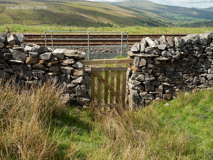
Brief Description
253230: Culvert (1' 9"" diameter): Elevation view from the South East
Are there any Image Notes?
No.
Contributor's Ref
N/A.

Open image page

Uploaded on 2019-11-25

Photo as per caption. Opens larger version.

Image Date
1 September 2010
Brief Description
Blea Moor Tunnel Shaft 3, spoil tip and tramway trackbed from northeast.
Are there any Image Notes?
No.
Contributor's Ref
Blea Moor Shaft 3-1

Open image page

Uploaded on 2019-11-25

Photo as per caption. Opens larger version.

Image Date
1 September 2010
Brief Description
Blea Moor Tunnel Shaft 3 and spoil tip from SW, Dent Head & Arten Gill Viaducts beyond.
Are there any Image Notes?
No.
Contributor's Ref
Blea Moor Shaft 3 to North

Open image page

Uploaded on 2019-11-25

Photo as per caption. Opens larger version.

Image Date
1 September 2010
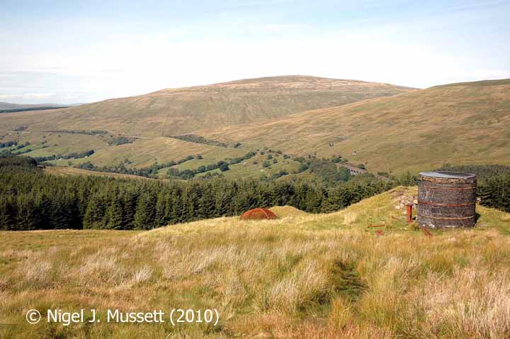
Brief Description
Blea Moor Tunnel Shaft 3 from SW, with Arten Gill Viaduct visible in distance.
Are there any Image Notes?
No.
Contributor's Ref
Blea Moor Shaft 3

Open image page

Uploaded on 2019-11-25

Photo as per caption. Opens larger version.

Image Date
19 April 2011
Brief Description
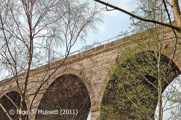
The south-western datestone on Smardale Viaduct (Bridge SAC-193).
Are there any Image Notes?
No.
Contributor's Ref
Smardale viaduct (W) datestone 2

Open image page

Uploaded on 2019-11-25

Photo as per caption. Opens larger version.

Image Date
1 September 2010
Brief Description
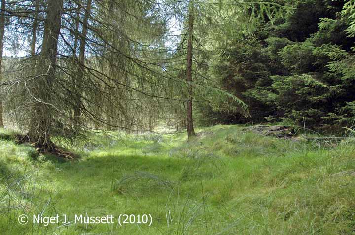
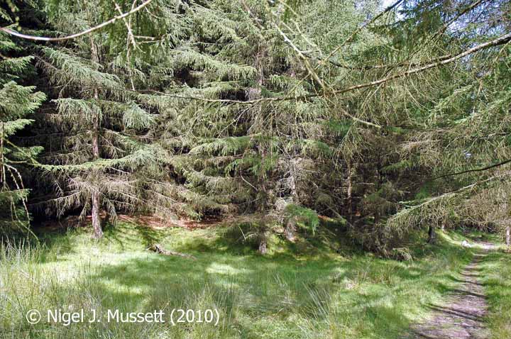
Blea Moor Tunnel Shaft B: spoil tip and shaft site, from the northeast.
Are there any Image Notes?
Yes.
Contributor's Ref
Blea Moor Shaft B-4

Open image page

Uploaded on 2019-11-25

Photo as per caption. Opens larger version.

Image Date
1 September 2010
Brief Description
Blea Moor Tunnel Shaft B: spoil tip and shaft site, from the northwest.
Are there any Image Notes?
No.
Contributor's Ref
Blea Moor Shaft B-1

Open image page

Uploaded on 2019-11-25

Photo as per caption. Opens larger version.

Image Date
1 September 2010
Brief Description
Blea Moor Tunnel Shaft B: spoil tip and shaft site, from the south.
Are there any Image Notes?
Yes.
Contributor's Ref
Blea Moor Shaft B-8

Open image page

Uploaded on 2019-11-20

Photo as per caption. Opens larger version.

Image Date
24 March 2012
Brief Description
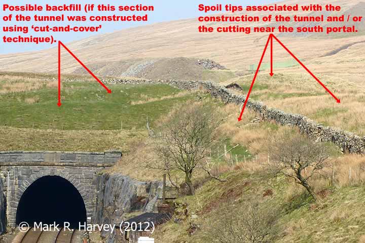
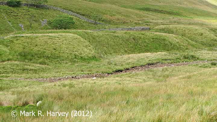
Spoil tips beside Blea Moor Tunnel South Portal, context from south.
Are there any Image Notes?
Yes.
Contributor's Ref
N/A.

Open image page

Uploaded on 2019-11-20

Photo as per caption. Opens larger version.

Image Date
10 August 2012
Brief Description
Spoil tips beside Blea Moor Tunnel South Portal cutting, context from northwest.
Are there any Image Notes?
No.
Contributor's Ref
N/A.

Open image page

Uploaded on 2019-11-20

Photo as per caption. Opens larger version.

Image Date
10 August 2012
Brief Description
Spoil tips beside Blea Moor Tunnel South Portal cutting, southeast elevation.
Are there any Image Notes?
No.
Contributor's Ref
N/A.

Open image page

Uploaded on 2019-11-17

Photo as per caption. Opens larger version.

Image Date
2 May 2019
Brief Description
292960: Lazonby & Kirkoswald Pumping Station (Dyer's Beck): Context view from the East
Are there any Image Notes?
Yes.
Contributor's Ref
N/A.

Open image page

Uploaded on 2019-11-17

Photo as per caption. Opens larger version.

Image Date
2 May 2019
Brief Description
292960: Lazonby & Kirkoswald Pumping Station (Dyer's Beck): Context view from the East
Are there any Image Notes?
Yes.
Contributor's Ref
N/A.

Open image page

Uploaded on 2019-11-17

Photo as per caption. Opens larger version.

Image Date
2 May 2019
Brief Description
292960: Lazonby & Kirkoswald Pumping Station (Dyer's Beck): Context view from the East
Are there any Image Notes?
No.
Contributor's Ref
N/A.

Open image page

Uploaded on 2019-11-17

Photo as per caption. Opens larger version.

Image Date
2 May 2019
Brief Description
292960: Lazonby & Kirkoswald Pumping Station (Dyer's Beck): Context view from the East
Are there any Image Notes?
No.
Contributor's Ref
N/A.

Open image page

Uploaded on 2019-11-12

Photo as per caption. Opens larger version.

Image Date
2 May 2019
Brief Description
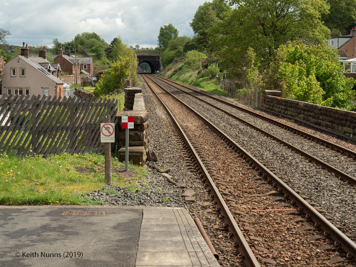
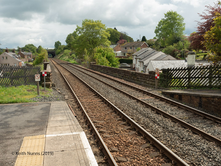
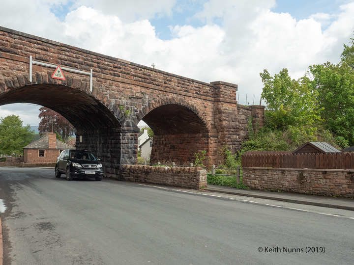
292530: Bridge SAC/306 - B6413 Scar Beck (PROW - road): Context view from the Nõrth West
Are there any Image Notes?
No.
Contributor's Ref
N/A.

Open image page

Uploaded on 2019-11-12

Photo as per caption. Opens larger version.

Image Date
2 May 2019
Brief Description
292530: Bridge SAC/306 - B6413 Scar Beck (PROW - road): Context view from the Nõrth West
Are there any Image Notes?
No.
Contributor's Ref
N/A.

Open image page

Uploaded on 2019-11-12

Photo as per caption. Opens larger version.

Image Date
2 May 2019
Brief Description
292530: Bridge SAC/306 - B6413 Scar Beck (PROW - road): Elevation view from the West
Are there any Image Notes?
No.
Contributor's Ref
N/A.

Open image page

Pages

  • « first
  • ‹ previous
  • …
  • 65
  • 66
  • 67
  • 68
  • 69
  • 70
  • 71
  • 72
  • 73
  • …
  • next ›
  • last »

Page 69 of 340 - Records 1633 to 1656 of 8143.

SCRCA Project:

  • Introduction and Overview
  • Background and Context
  • Contributors (Acknowledgements)
  • Getting Involved
  • Plea for Information and Images
  • Data Control, Copyright and Usage

Jargon Busting:

  • Glossary of Terms
  • Location Types
  • Location Variants
  • Construction Periods
  • Protection Categories
  • Listed Structures and Scheduled Sites

Further Reading:

  • Building the line
  • Operating the line
  • Historic Structures
  • Conservation & Archaeology
  • General References
  • Site Index

Search:

  • Search this website Search Icon

 
Get in touch:

  • Contact form

 
Social Media:

  •     

The SCRCA Web-Portal was designed and developed by Mark R. Harvey. Moral Rights and Database Rights have been asserted. All text and images are protected by copyright and all rights are reserved.
© Mark R. Harvey
unless otherwise stated. No liability can be accepted for errors or omissions in the information provided on this website, or for any consequences arising therefrom. Back to top Back to top