
aire2eden
78 miles of railway heritage between Hellifield and Carlisle.
 Settle Carlisle Railway Conservation Area (SCRCA)
 78 miles of railway heritage between Hellifield and Carlisle
Key details from the Location Record
- Location Type
- Platform (for passenger use)
- Location Variant
- Platform - Single face
- Assessment status
- Assessed
- Current Use(s)
- Demolished
- Shown on a land plan?
- Yes
- Construction / installation period
- 2: MR construction phase (1869 to 31st Dec 1876)
- Distance from London St.Pancras
- 301 miles and 23 chains
- Position relative to running lines
- Up
- Visibility
- This location is NOT visible from nearby publicly accessible land.
- Accessibility (ease of access)
- No Access
- Protection Category
- Not Applicable - demolished or relocated
- Geographic Location
- View this location on mapping and aerial imagery.
Image Gallery
Tips: To view a larger version of an image, click on its thumbnail (i.e. the small image). To view the acknowledgements and notes associated with an image, click / tap on the image title.
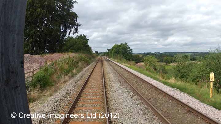
Cab-views

Errors and omissions
Reasonable efforts are being made to ensure the accuracy of the information obtained and uploaded as part of the SCRCA Project. However, it is possible that a few errors will have crept-in. If you notice any such errors, we would be grateful if you would bring them to our attention using the SCRCA Project Contact Form. The SCRCA Project Team do NOT guarantee the accuracy of the information contained in this database. If you intend to use and / or act upon any of this information, you are advised to verify its accuracy BEFORE doing so.