Settle Carlisle Railway Conservation Area (SCRCA)
 Term definition
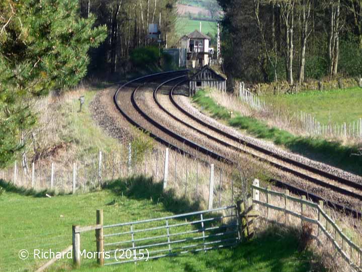
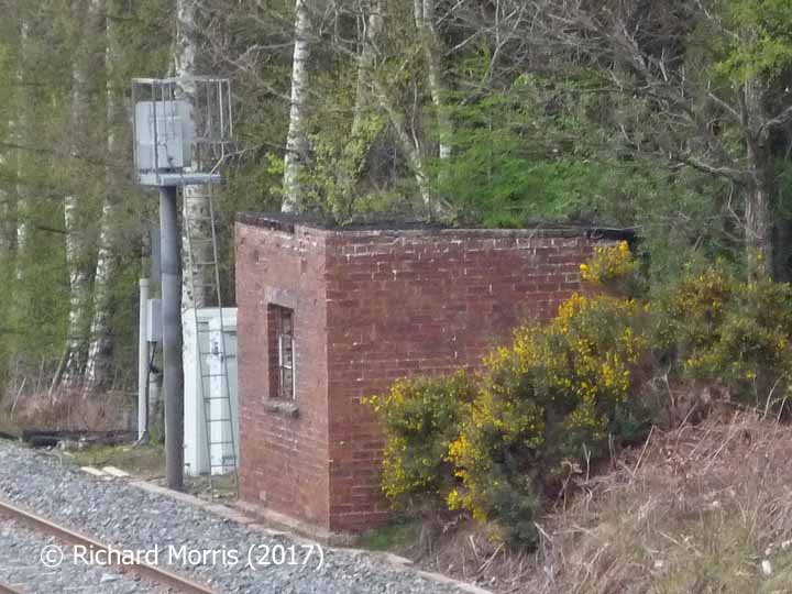
Platelayers' huts are small buildings constructed beside railway lines at regular intervals (typically every 2 or 3 miles) that were designed to:
- store the tools and equipment used by permanent-way workers; and to
- provide those workers with somewhere to shelter during meal breaks and periods of bad weather.
For more than a century, each team or 'gang' of track workers was assigned to a specific length of track. The members of these teams were known as ‘platelayers’, 'gangers' or ‘lengthmen’ and each team was based at a platelayers’ hut located close to its 'length'.
Platelayers' huts fell out of regular use in the 1970s, when more flexible working practices were introduced. Regional teams now use vans and other road vehicles to reach locations where maintenance work is required. In many cases, the same vans also provide shelter, personal 'conveniences' and storage, although for larger scale works, portable cabins and chemical toilets may be provided.
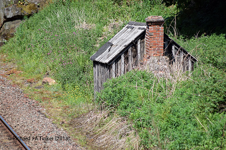
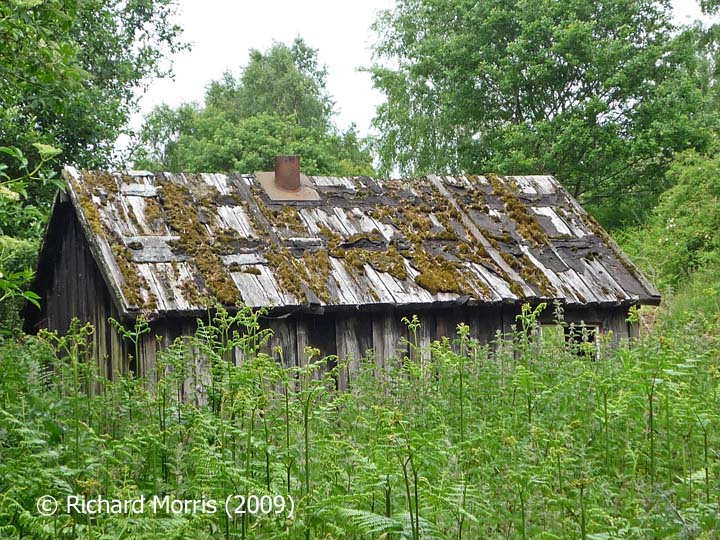
For the purposes of the SCRCA Project, all line-side huts displaying evidence of windows and chimneys or flues have been classified as platelayers’ huts unless there is substantive evidence that the structure had a different primary use (e.g. the structures labelled as 'naptha stores').
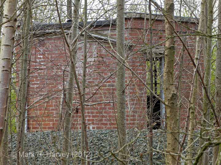
The design of platelayers' huts varies significantly, as does the nature of the construction materials used. The latter includes stone, brick, concrete and timber for the walls and either concrete or timber for the roofs. The timber roofs were usually overlain with slate tiles, thin stone slabs, or felt.
Example locations classified with this term
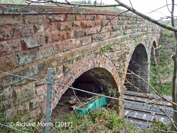
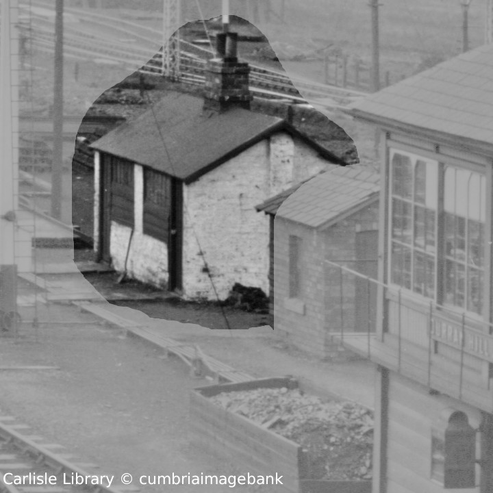
The following examples from the SCRCA Project database illustrate this location type.
- Locations are only displayed here if they have been 'assessed' and if a default image is available.
- To view the full Location Summary for one of the sites or structures, click on the relevant location name / description.
- To view a larger version of one or more of the images in a slideshow format, click on one of the thumbnail images.
NB: The slideshow will NOT run on devices with a screen width of less than 400px, or if you attempt to open it in a new window. - To view details of ALL the locations assigned this classification (regardless of their assessment or image status), use the Gazetteer.
- To view additional information and / or images relating to a location, click / tap on the location's name / brief description.