Settle Carlisle Railway Conservation Area (SCRCA)
 Term definition
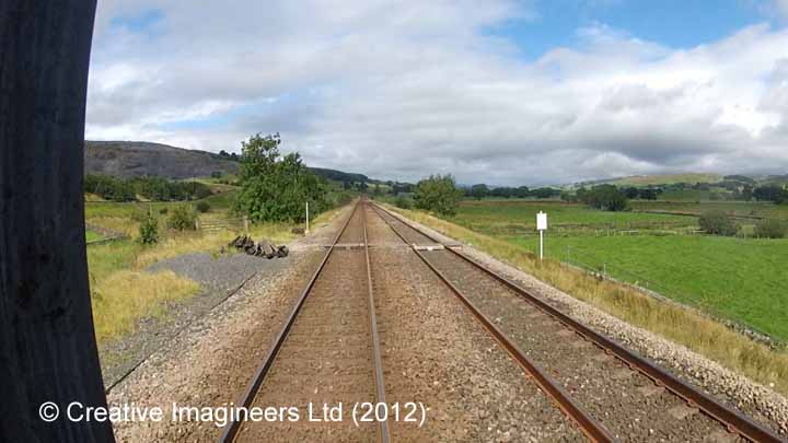
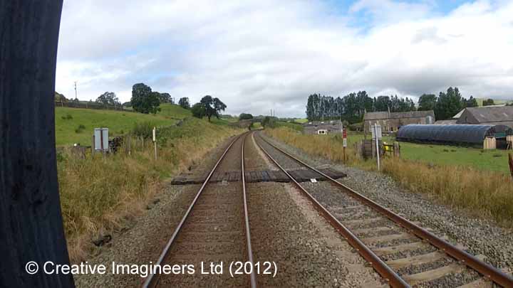
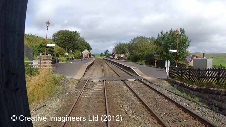
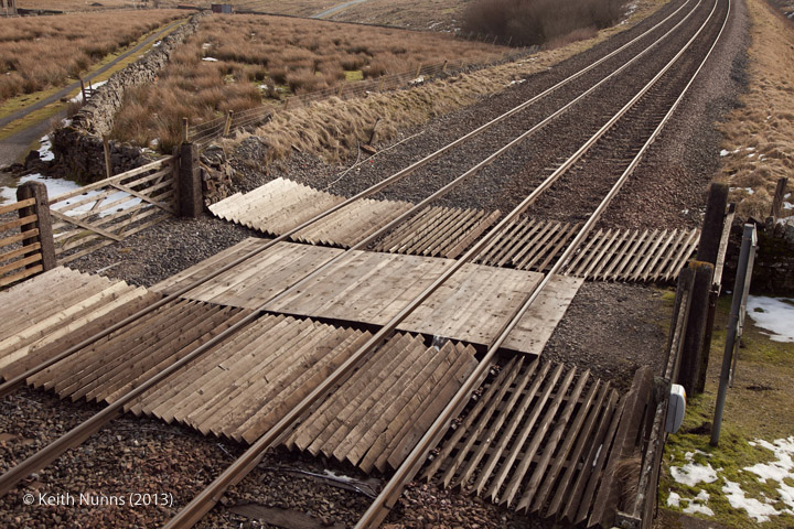
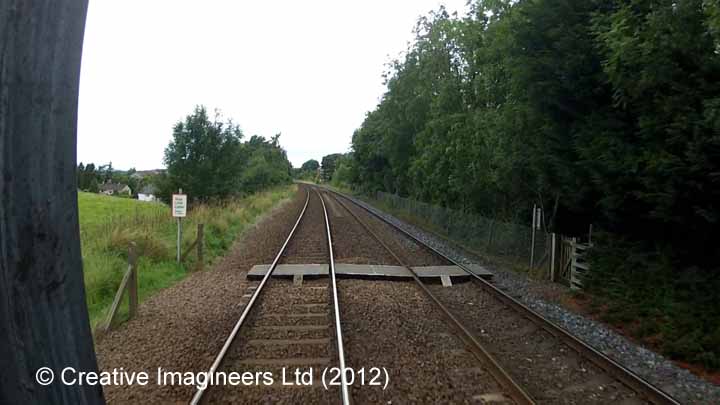
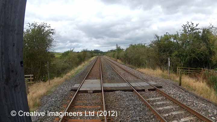
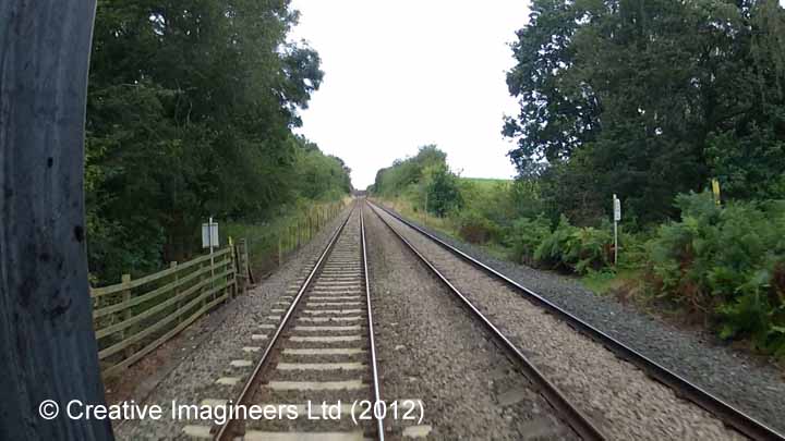
Level crossing for a path that is depicted on recent Ordnance Survey maps as a Public Right of Way (PROW) - i.e. a public footpath or public bridleway. As is stated on the maps: "Rights of way are liable to change. ... Please check with the relevant local authority for the latest information."
This variant applies to the following 'Location Type(s)':
Example locations classified with this term
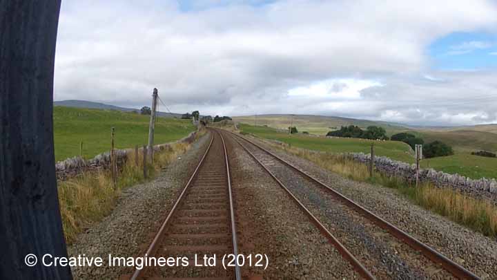
The following examples from the SCRCA Project database illustrate this location type.
- Locations are only displayed here if they have been 'assessed' and if a default image is available.
- To view the full Location Summary for one of the sites or structures, click on the relevant location name / description.
- To view a larger version of one or more of the images in a slideshow format, click on one of the thumbnail images.
NB: The slideshow will NOT run on devices with a screen width of less than 400px, or if you attempt to open it in a new window. - To view details of ALL the locations assigned this classification (regardless of their assessment or image status), use the Gazetteer.
- To view additional information and / or images relating to a location, click / tap on the location's name / brief description.