Settle Carlisle Railway Conservation Area (SCRCA)
 Term definition
Lie-by sidings and loops are relatively short lengths of railway track laid parallel to the main line and connected to the main line via a turnout (set of points) at one end (lie-by sidings) or both ends (loops). Their primary purpose is to allow slow trains to be temporarily diverted off the main line (set 'aside') so that faster trains can overtake them (hence the term 'siding').
When the Settle-Carlisle Railway was originally constructed, the Midland Rail Company's standard operating procedures required facing points to be avoided wherever possible. As a consequence, lie-by sidings were commonplace, but loops were very rare.
Lie-by sidings are accessed via a single turnout (set of points). Trains running on the mainline can only access them by passing them, stopping, then reversing slowly backwards into the siding. This is a time consuming process but, in the days before reliable 'facing-point locks', this was considered to be an essential safety precaution.
During the Second World War, the railways were operating at saturation point and it was necessary to speed-up the process in order to increase capacity on the mainline. Facing turnouts were added to most lie-by sidings, thereby converting them into loops. Slow trains could access these loops without needing to reverse (a much faster operation).
Example locations classified with this term
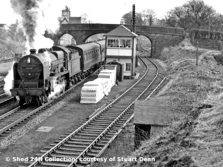
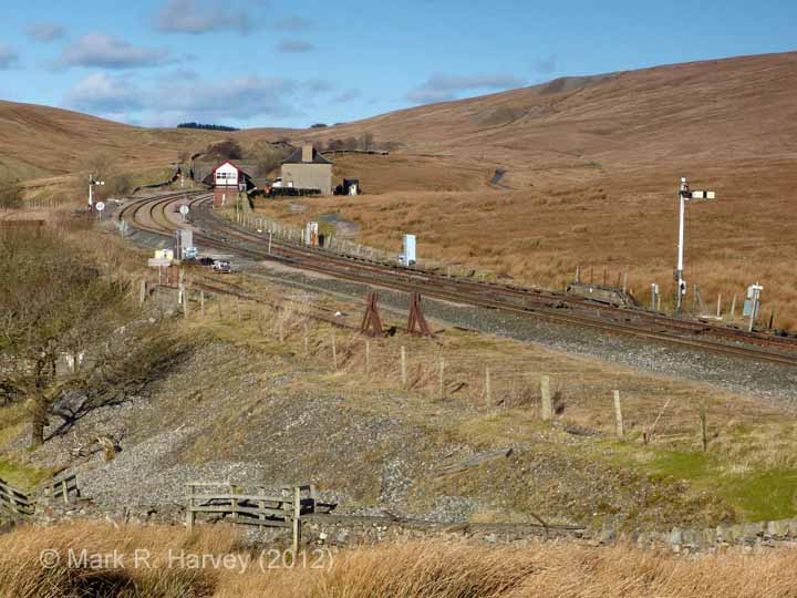
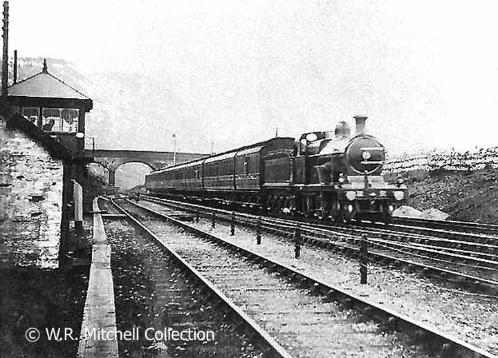
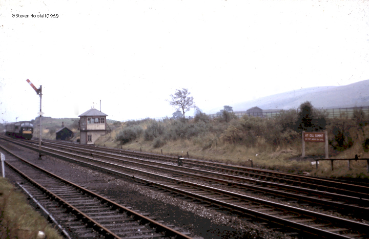
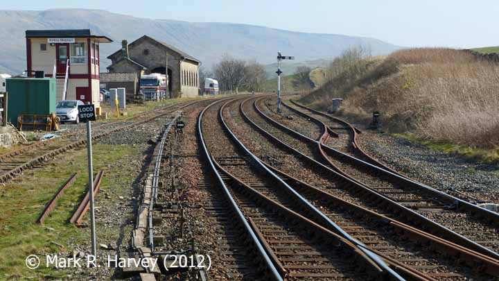
The following examples from the SCRCA Project database illustrate this location type.
- Locations are only displayed here if they have been 'assessed' and if a default image is available.
- To view the full Location Summary for one of the sites or structures, click on the relevant location name / description.
- To view a larger version of one or more of the images in a slideshow format, click on one of the thumbnail images.
NB: The slideshow will NOT run on devices with a screen width of less than 400px, or if you attempt to open it in a new window. - To view details of ALL the locations assigned this classification (regardless of their assessment or image status), use the Gazetteer.
- To view additional information and / or images relating to a location, click / tap on the location's name / brief description.