Settle Carlisle Railway Conservation Area (SCRCA)
 Term definition
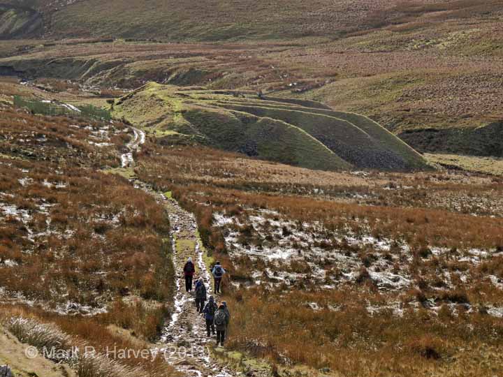
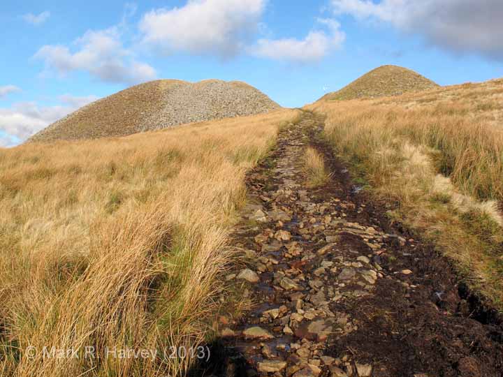
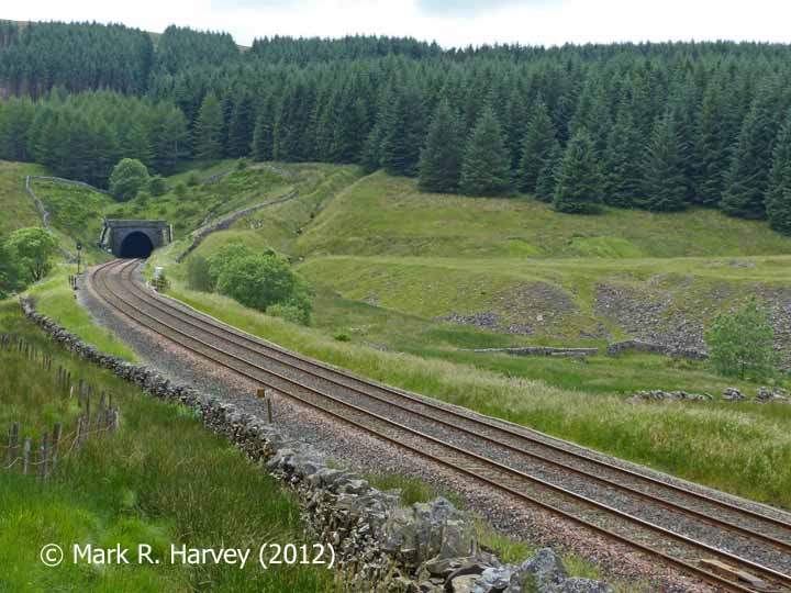
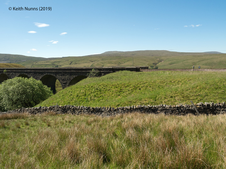
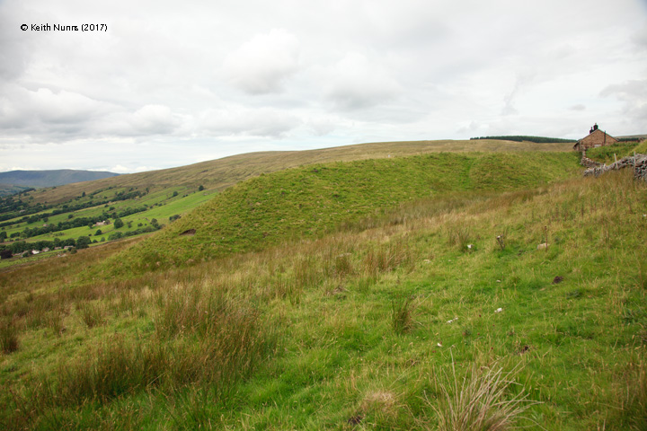
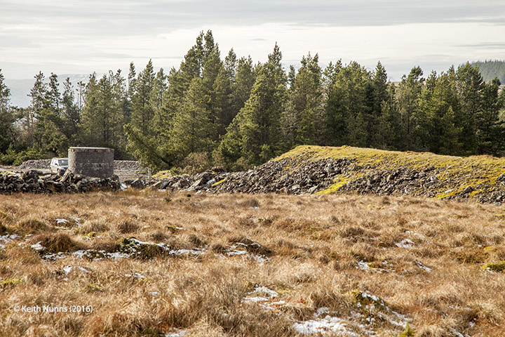
For the purposes of the SCRCA Project, the term 'Spoil Tip' refers to a clearly defined area of raised ground formed by the systematic tipping of 'spoil', i.e. the rock and / or earth extracted during the process of excavating cuttings and constructing tunnels (and associated access shafts) as part of the construction of the Settle-Carlisle Railway between 1869 to 1876.
These by-products of the construction process are recognised as important archaeological structures in their own right because they help us to deduce and understand key aspects of the railway's construction story. In many cases, the spoil tips have a distinctive radiating form (often appearing hand-shaped) and this reveals the methods that were used to create them. Where 'spoil tips' are concerned, archaeology really is rubbish, albeit very interesting rubbish.
For more information, please refer to the related article "What are spoil tips and how were they formed?".
Example locations classified with this term
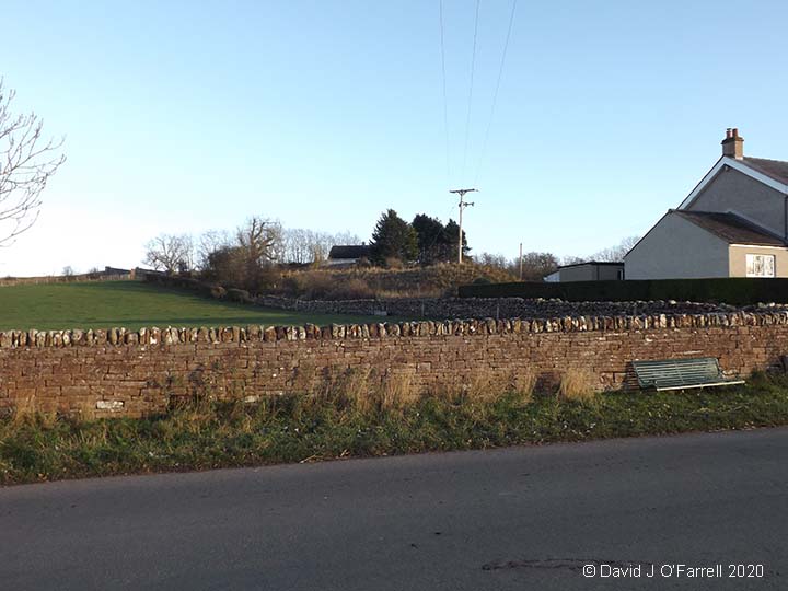
The following examples from the SCRCA Project database illustrate this location type.
- Locations are only displayed here if they have been 'assessed' and if a default image is available.
- To view the full Location Summary for one of the sites or structures, click on the relevant location name / description.
- To view a larger version of one or more of the images in a slideshow format, click on one of the thumbnail images.
NB: The slideshow will NOT run on devices with a screen width of less than 400px, or if you attempt to open it in a new window. - To view details of ALL the locations assigned this classification (regardless of their assessment or image status), use the Gazetteer.
- To view additional information and / or images relating to a location, click / tap on the location's name / brief description.