Settle Carlisle Railway Conservation Area (SCRCA)
Term definition
This structure does not currently benefit from any official protection beyond that offered by its location within a designated conservation area. However, this does NOT mean that the structure can be altered or demolished. Most of the historic structures within the SCRCA contribute significantly to the 'group value' of all or part of the conservation area. Official 'conservation area consent' is required (from the relevant Local Authority) prior to the alteration or removal / demolition of any historic structure within the SCRCA and conservation area legislation means that there is a presumption in favour of conservation.
Example locations classified with this term
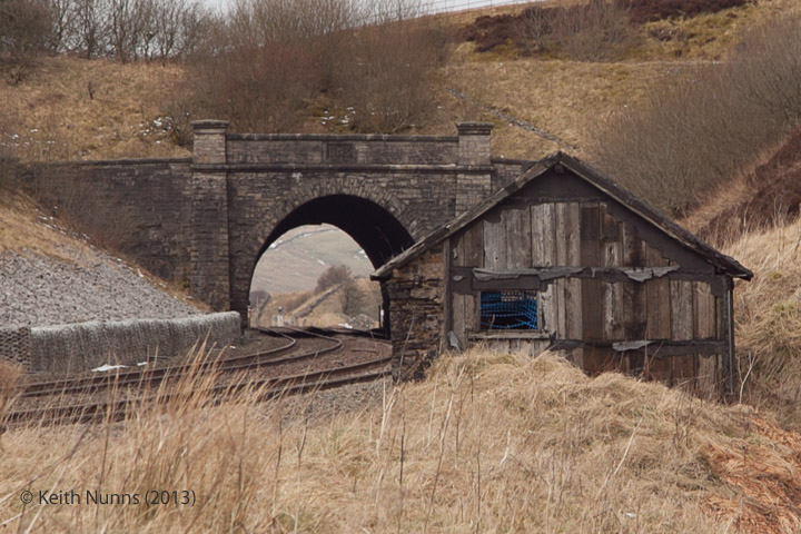
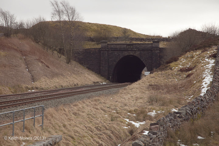
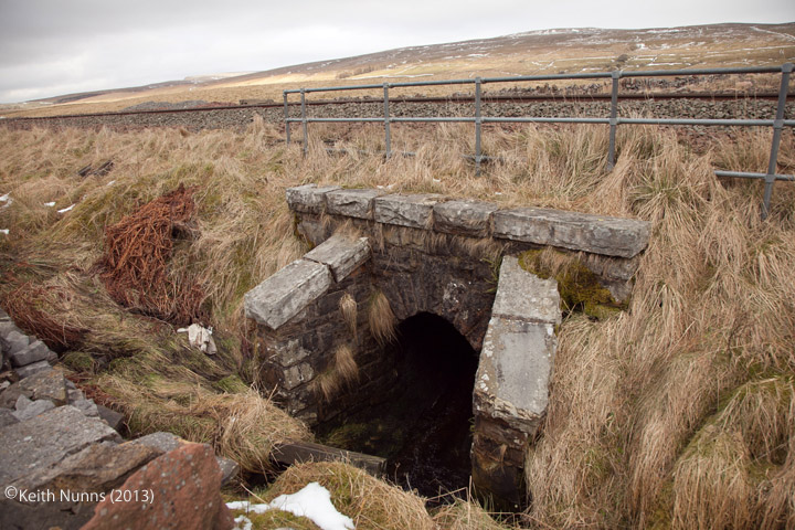
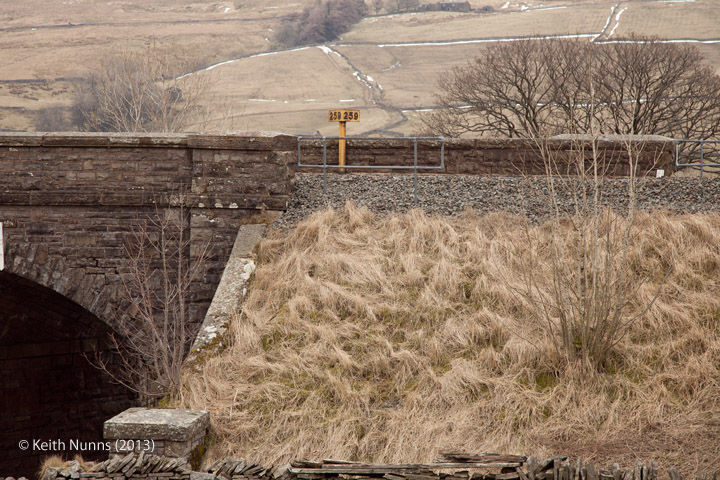
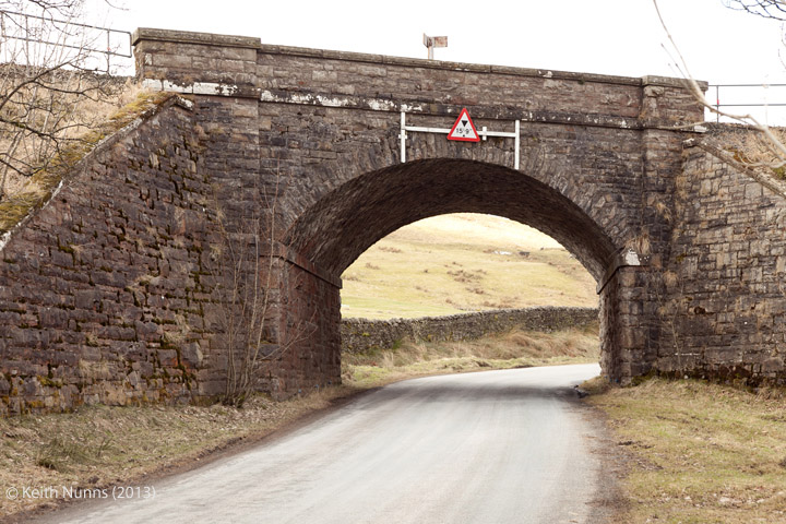
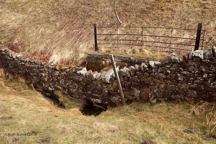
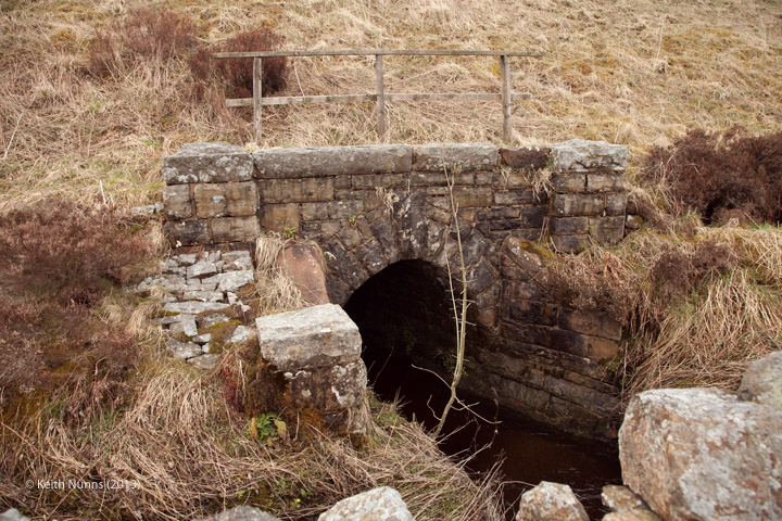
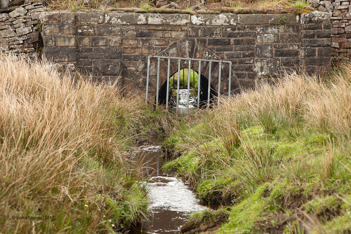
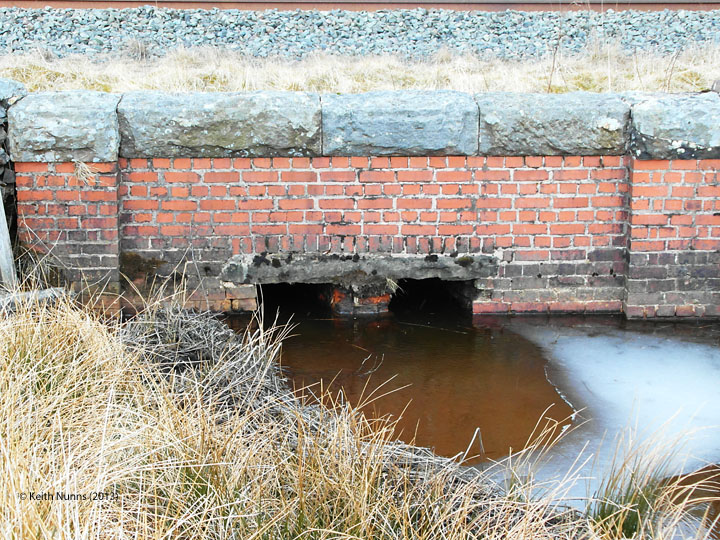
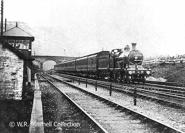
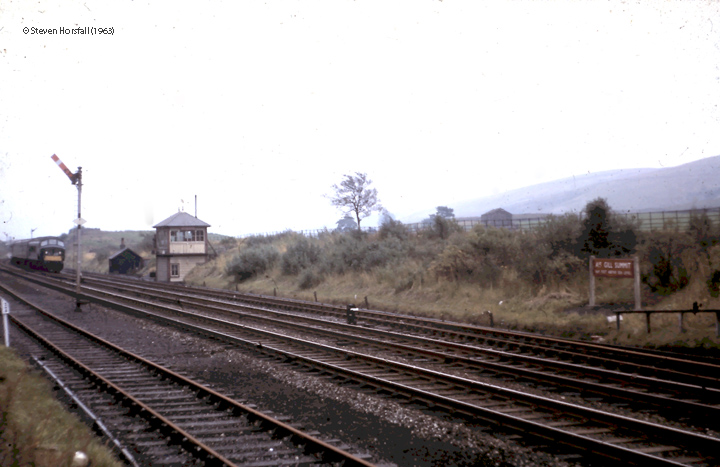
The following examples from the SCRCA Project database illustrate this location type.
- Locations are only displayed here if they have been 'assessed' and if a default image is available.
- To view the full Location Summary for one of the sites or structures, click on the relevant location name / description.
- To view a larger version of one or more of the images in a slideshow format, click on one of the thumbnail images.
NB: The slideshow will NOT run on devices with a screen width of less than 400px, or if you attempt to open it in a new window. - To view details of ALL the locations assigned this classification (regardless of their assessment or image status), use the Gazetteer.
- To view additional information and / or images relating to a location, click / tap on the location's name / brief description.