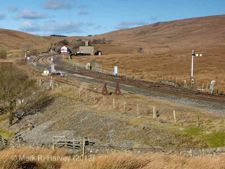
This page allows you to 'virtually visit' the Ribblehead and Blea Moor section of the Settle-Carlisle Railway Conservation Area (SCRCA).

This area includes some of the most impressive and interesting structures and landscapes within the conservation area but, for anyone considering a real-world visit, the 'Practical Considerations' below are essential reading.

1 - Location ID: 247000

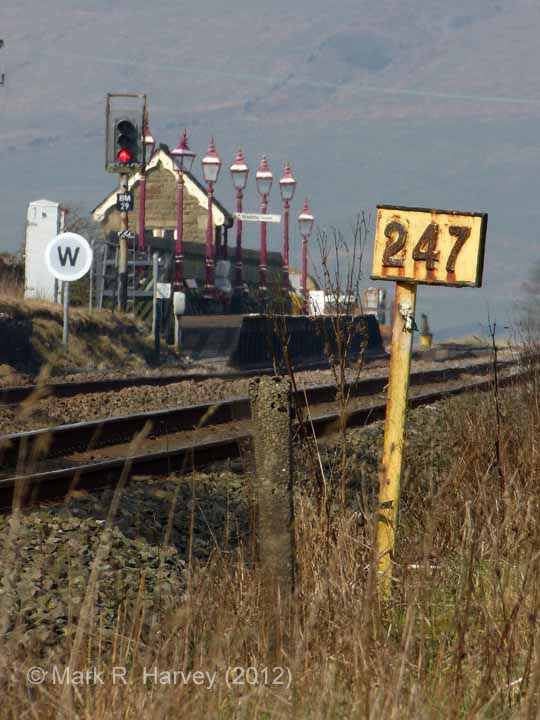
Milepost 247

Photo as per caption. Opens larger version.
Location Type
Milepost
Location Variant
Milepost - MR4 - Full mile
Current Use(s)
Railway ops

2 - Location ID: 247050

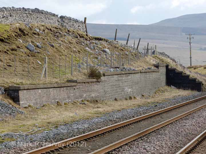
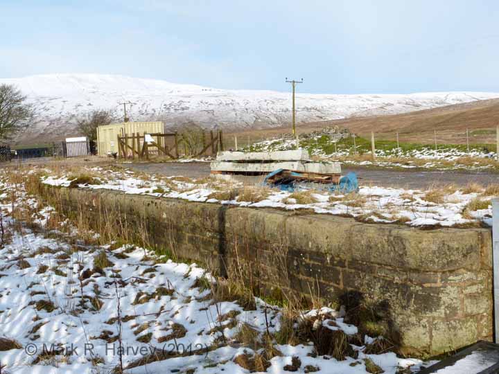
Ribblehead Station - Retaining Wall for Up Sidings

Photo as per caption. Opens larger version.
Location Type
Retaining Wall
Location Variant
Not Applicable
Current Use(s)
Railway ops

5 - Location ID: 247160

Ribblehead Station Cattle Dock

Photo as per caption. Opens larger version.
Location Type
Cattle Dock
Location Variant
Cattle Dock - 3 pens
Current Use(s)
Disused

6 - Location ID: 247170

Ribblehead Station - South Barrow Crossing (passenger use only)

Photo as per caption. Opens larger version.
Location Type
Level Crossing
Location Variant
Level Crossing - Barrow
Current Use(s)
Railway ops

7 - Location ID: 247210

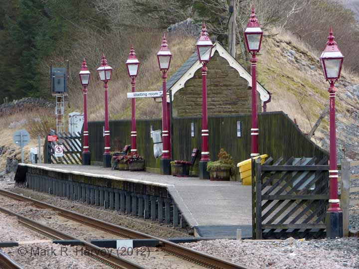
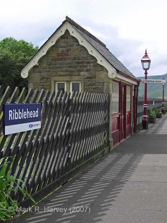
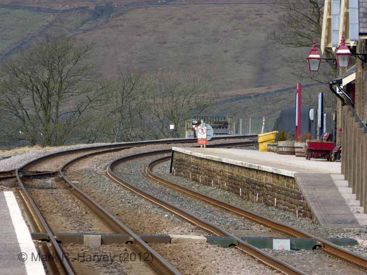
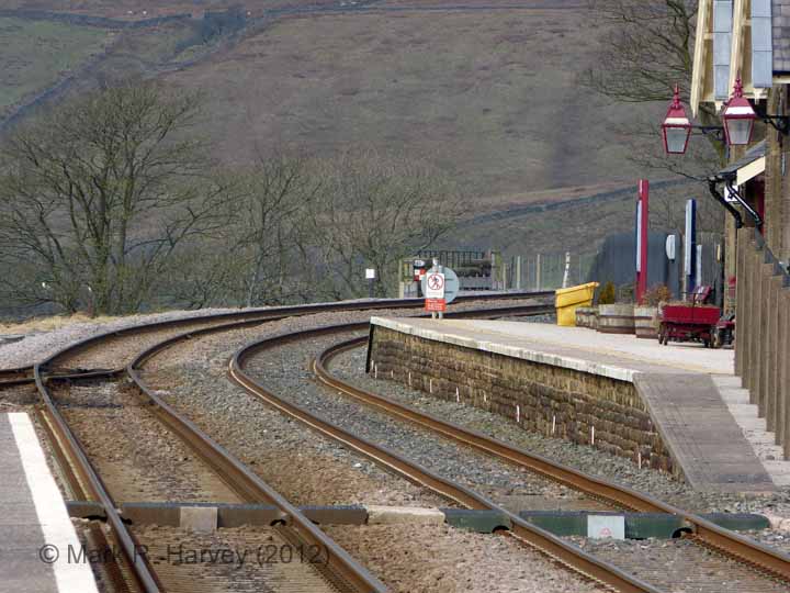
Ribblehead Station - Passenger Platform (Up)

Photo as per caption. Opens larger version.
Location Type
Platform (for passenger use)
Location Variant
Platform - Single face
Current Use(s)
Railway ops

9 - Location ID: 247250

Milepost 247¼

Photo as per caption. Opens larger version.
Location Type
Milepost
Location Variant
Milepost - MR1 - Quarter mile
Current Use(s)
Railway ops

10 - Location ID: 247260

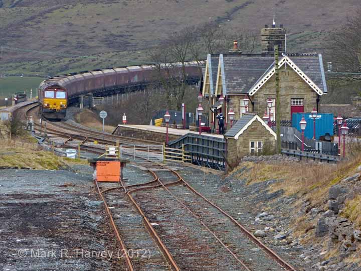
Ribblehead Quarry Siding

Photo as per caption. Opens larger version.
Location Type
Siding
Location Variant
Siding Type - Rail-served industry
Current Use(s)
Railway ops

11 - Location ID: 247270

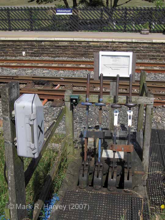
Ribblehead Quarry Siding Ground Frame

Photo as per caption. Opens larger version.
Location Type
Ground Frame
Location Variant
Not Applicable
Current Use(s)
Railway ops

13 - Location ID: 247300

Gradient Post (176 falling / 100 rising)

Photo as per caption. Opens larger version.
Location Type
Gradient Post
Location Variant
Gradient Post - MRC Standard Design (Metal)
Current Use(s)
Railway ops

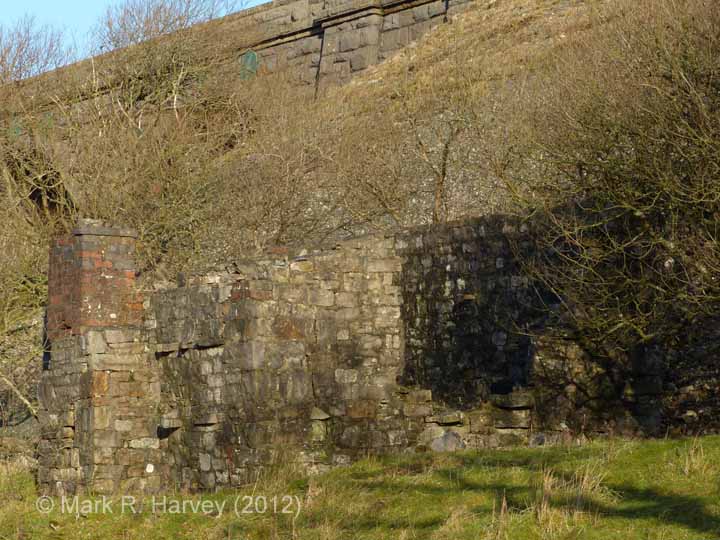
15 - Location ID: 247650

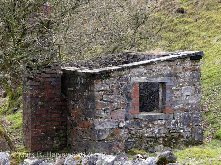
Platelayers' Hut - Ribblehead Viaduct South

Photo as per caption. Opens larger version.
Location Type
Platelayers' Hut
Location Variant
Exterior walls - Stone
Current Use(s)
Disused

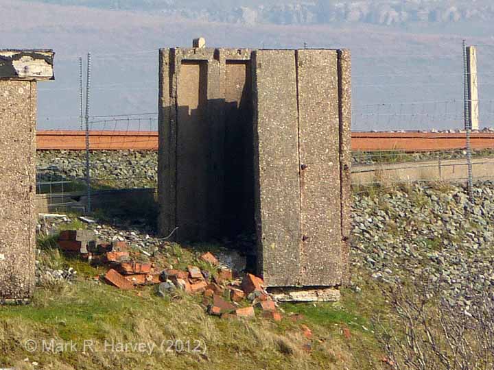
17 - Location ID: 247910

Fog Hut NW of Ribblehead Viaduct (A)

Photo as per caption. Opens larger version.
Location Type
Fog Hut
Location Variant
Exterior walls - Pre-cast concrete
Current Use(s)
Disused

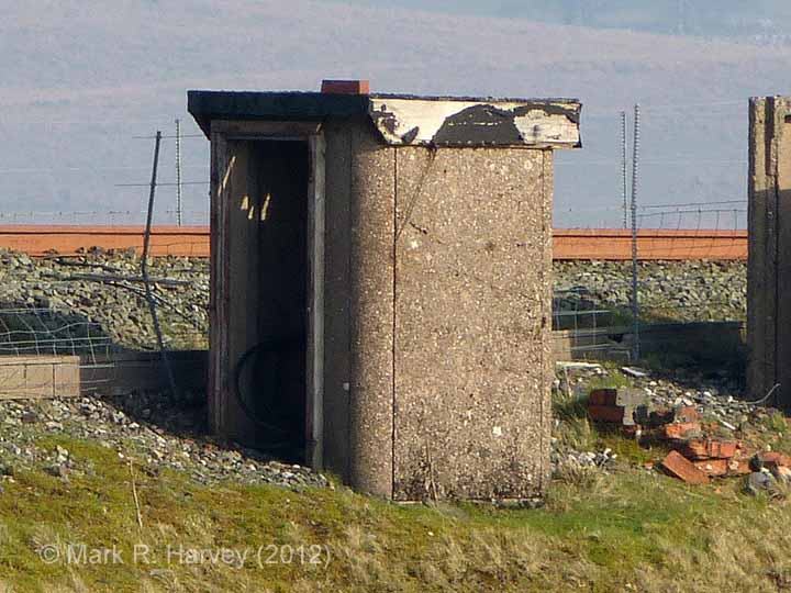
18 - Location ID: 247920

Fog Hut NW of Ribblehead Viaduct (B)

Photo as per caption. Opens larger version.
Location Type
Fog Hut
Location Variant
Exterior walls - Pre-cast concrete
Current Use(s)
Disused

19 - Location ID: 247950

Platelayers' Hut - Ribblehead Viaduct North

Photo as per caption. Opens larger version.
Location Type
Platelayers' Hut
Location Variant
Exterior walls - Stone
Current Use(s)
Disused

20 - Location ID: 248000

Milepost 248

Photo as per caption. Opens larger version.
Location Type
Milepost
Location Variant
Milepost - MR4 - Full mile
Current Use(s)
Railway ops

21 - Location ID: 248050

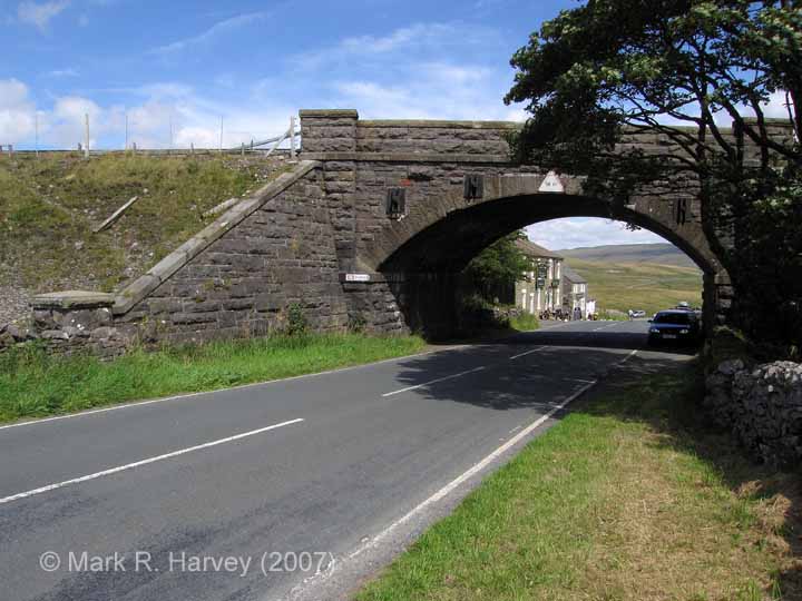
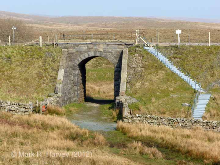
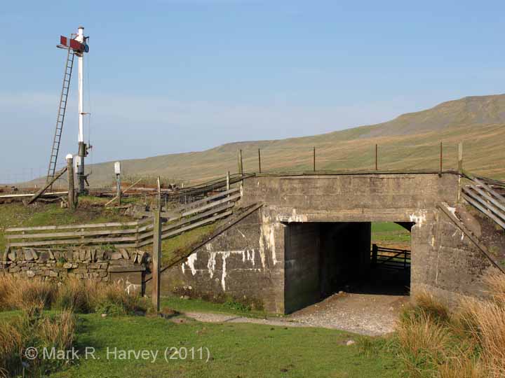
Bridge SAC/67 - Blea Moor No 1 (CROW / occupation)

Photo as per caption. Opens larger version.
Location Type
Bridge (Underline)
Location Variant
Span - Arch (single)
Current Use(s)
Railway ops

22 - Location ID: 248350

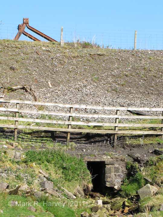
Culvert (3' 0" diameter) Foul Gutter

Photo as per caption. Opens larger version.
Location Type
Culvert
Location Variant
Not yet classified.
Current Use(s)
Railway ops

24 - Location ID: 248450

Blea Moor Sidings (Down)

Photo as per caption. Opens larger version.
Location Type
Siding
Location Variant
Siding Type - Lie-by or Loop
Current Use(s)
Disused

Pages


Map

The interactive map below shows the approximate location of all the locations currently assigned to this tour. The marker numbers provide a cross-reference to the sequence numbers in the itinerary.

Show / hide tips
  • The maps and aerial imagery will only be displayed if Javascript is installed on your device and enabled for this domain / sub-domain.
  • Note that the marker-positioning is approximate. (It can never be entirely accurate due to slight variations in the positioning of the map / aerial imagery tiles across different map types and scales.)
  • To view brief details for a location in a small overlay window, click / tap on its marker.
  • The layers button (top-right) can be used to switch between two street map layers and an aerial imagery layer. However, please note that interactive mapping makes heavy demands on the internet connection (to download and resize the maps). Page-loading times and data-usage can be kept to a minimum by using the street map layers (#1, esri-world_street_map layer and #2, esri-world_topo_map layer) rather than the aerial imagery layer (#3, esri-world_imagery layer).
  • To view additional information and / or images relating to a location, click / tap on the location's map-marker, then click / tap on the name / brief description in the pop-up window.
  • For additional tips on using the maps and aerial imagery, see "Using the interactive maps".

Practical Considerations

If you are considering a 'real world' visit to this area, please note the following:

  • The structures between milepost 247 and the Station Master's House are all clearly visible from the station platforms or adjacent car-park.
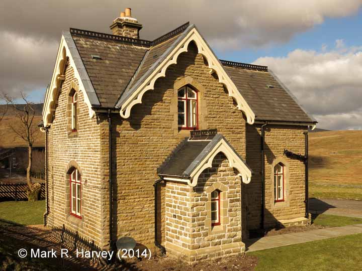
  • The former Station Master's House is now a holiday let. For further information, see https://settlecarlisletrust.org.uk/stay-at-a-station/.
  • The former main station building now houses a museum dedicated to the Settle-Carlisle Railway and its construction during the late nineteenth century. The museum is operated by the Settle & Carlisle Railway Trust. For further information, see https://settlecarlisletrust.org.uk/ribblehead-visitor-centre/.
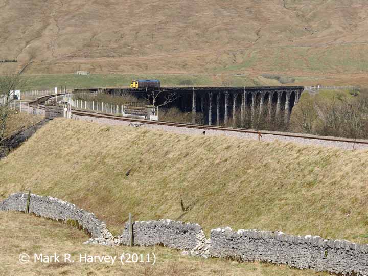
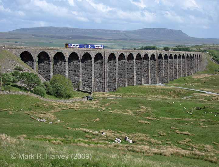
  • The famous Ribblehead Viaduct is approximately half a mile from the station, but it can be seen in the distance from the station platforms and the station car-park.
  • It is possible to walk to the viaduct by walking down the station drive, turning right along the B6255, turning left shortly after the cattle grid, then walking along the rough track (a public bridleway) to the foot of the viaduct. Please note that this area is very exposed and that the weather can change dramatically in just a few minutes, often with little or no warning.
  • The landscape near the viaduct contains a large number of archaeological features associated with the construction of the railway (see Ribblehead Railway Construction Camp). However, many of these are located in rough ground well away from the public rights of way and the best way to visit them is by joining one of the Ribblehead Heritage Tours operated by the Friends of the Settle-Carlisle Line. (For further details, see https://www.foscl.org.uk/content/heritage-tours.)
  • The structures beyond (to the north of) the viaduct can be seen from the public bridleway that follows the route of the railway. If you decide to explore beyond the viaduct, stout footwear, warm clothing and a windproof / waterproof jacket are ESSENTIAL (even on what seems to be a hot / sunny day). You are also strongly advised to carry (and know how to use) a suitable map & compass and to carry some food and drink. Please note that reaching the structures beyond the aqueduct will involve a strenuous climb up to the summit of Blea Moor, which should only be attempted by fit, healthy, experienced and properly equipped hill walkers.
  • Do NOT rely on mobile phone coverage: the area is not covered by all networks and, in some areas, signal reception can range from poor to none existent.
  • Useful information for rail-passengers (e.g. details of station facilities, fares and train times) can be obtained from the following:

Bearing in mind all of the above, the area is well worth a visit (although preferably in good weather).