This page allows you to 'virtually visit' the Ribblehead and Blea Moor section of the Settle-Carlisle Railway Conservation Area (SCRCA).

This area includes some of the most impressive and interesting structures and landscapes within the conservation area but, for anyone considering a real-world visit, the 'Practical Considerations' below are essential reading.

25 - Location ID: 248480

Blea Moor Signal Box (1941 - present)

Photo as per caption. Opens larger version.
Location Type
Signal Box
Location Variant
Signal Box - LMS type 11c
Current Use(s)
Railway ops

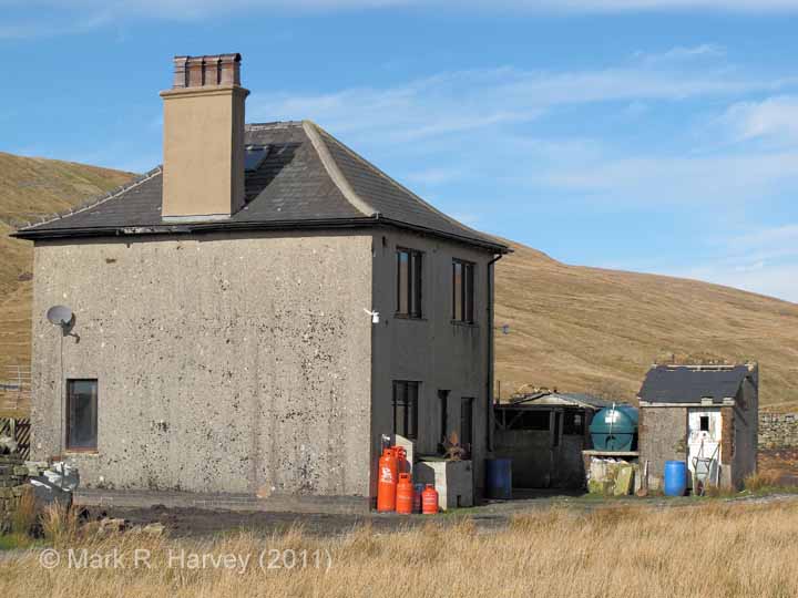
26 - Location ID: 248550

Blea Moor Workers' Housing (detached)

Photo as per caption. Opens larger version.
Location Type
Workers' Housing
Location Variant
Workers' Housing - Other (Not Midland SCR)
Current Use(s)
Residential

27 - Location ID: 248620

Blea Moor Lie-by Siding (Up)

Photo as per caption. Opens larger version.
Location Type
Siding
Location Variant
Siding Type - Lie-by or Loop
Current Use(s)
Railway ops

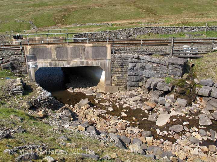
28 - Location ID: 248650

Culvert (4' 0" diameter) Hare Gill

Photo as per caption. Opens larger version.
Location Type
Culvert
Location Variant
Span - Arch (single)
Current Use(s)
Railway ops

29 - Location ID: 248700

Bridge SAC/69 - Blea Moor No 3 (occupation)

Photo as per caption. Opens larger version.
Location Type
Bridge (Overline)
Location Variant
Span - Arch (single)
Current Use(s)
Railway ops

30 - Location ID: 248750

Milepost 248¾

Photo as per caption. Opens larger version.
Location Type
Milepost
Location Variant
Milepost - MR3 - Three-quarter mile
Current Use(s)
Railway ops

31 - Location ID: 248990

Bridge SAC/70 - Little Dale Beck (stream)

Photo as per caption. Opens larger version.
Location Type
Bridge (Underline)
Location Variant
Span - Pre-cast segmental
Current Use(s)
Railway ops

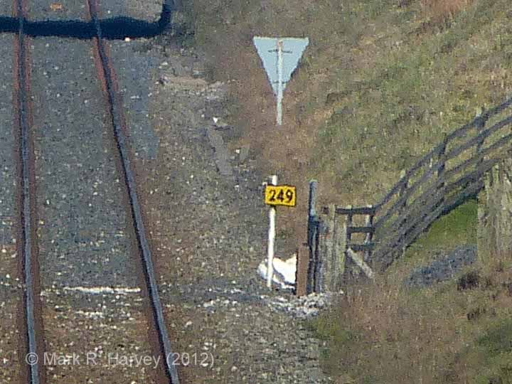
32 - Location ID: 249000

Milepost 249

Photo as per caption. Opens larger version.
Location Type
Milepost
Location Variant
Milepost - MR4 - Full mile
Current Use(s)
Railway ops

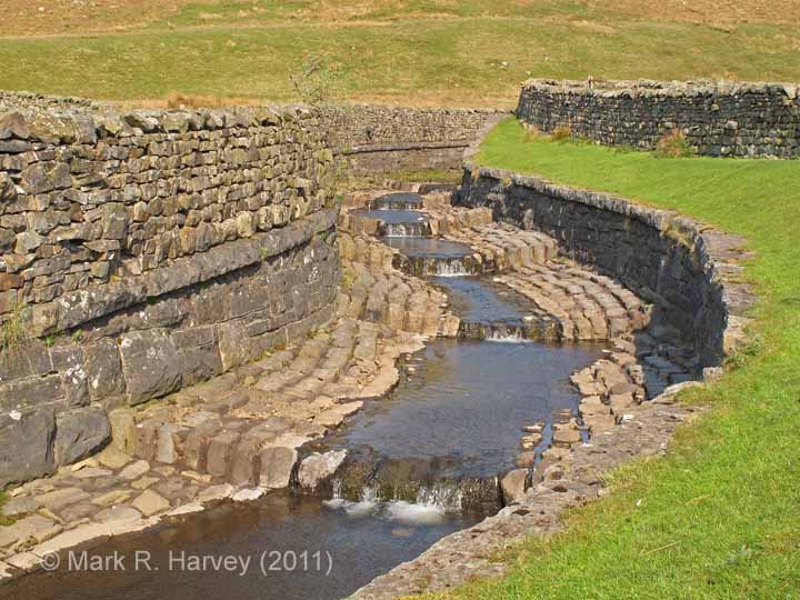
34 - Location ID: 249210

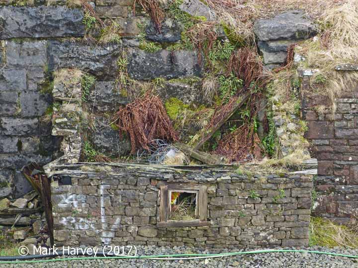
Force Gill Aqueduct 'Naphtha Store' (Lamp Hut)

Photo as per caption. Opens larger version.
Location Type
Lamp Hut
Location Variant
Exterior walls - Stone
Current Use(s)
Disused

35 - Location ID: 249250

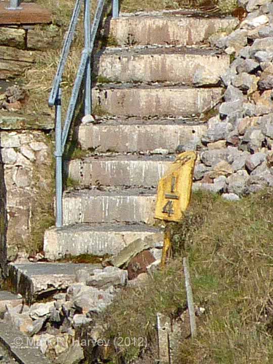
Milepost 249¼

Photo as per caption. Opens larger version.
Location Type
Milepost
Location Variant
Milepost - MR1 - Quarter mile
Current Use(s)
Railway ops

36 - Location ID: 249270

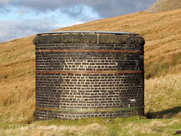
Platelayers' Hut (Masons' Hut) at Blea Moor Tunnel South Portal

Photo as per caption. Opens larger version.
Location Type
Platelayers' Hut
Location Variant
Exterior walls - Brick
Current Use(s)
Disused

37 - Location ID: 249280

Spoil Tips Beside Blea Moor Tunnel South Portal

Photo as per caption. Opens larger version.
Location Type
Archaeological Site
Location Variant
Spoil Tip
Current Use(s)
Disused

38 - Location ID: 249300

Blea Moor Tunnel South Portal (Bridge SAC/72)

Photo as per caption. Opens larger version.
Location Type
Tunnel Mouth
Location Variant
Not Applicable
Current Use(s)
Railway ops

39 - Location ID: 249520

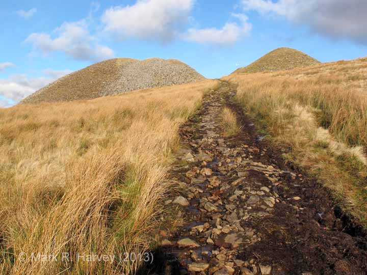
Spoil Tips Beside Blea Moor Tunnel Shaft A

Photo as per caption. Opens larger version.
Location Type
Archaeological Site
Location Variant
Spoil Tip
Current Use(s)
Disused

41 - Location ID: 249770

Spoil Tips Beside Blea Moor Tunnel Shaft 1 (east)

Photo as per caption. Opens larger version.
Location Type
Archaeological Site
Location Variant
Spoil Tip
Current Use(s)
Disused

42 - Location ID: 249780

Spoil Tips Beside Blea Moor Tunnel Shaft 1 (west)

Photo as per caption. Opens larger version.
Location Type
Archaeological Site
Location Variant
Spoil Tip
Current Use(s)
Disused

44 - Location ID: 249940

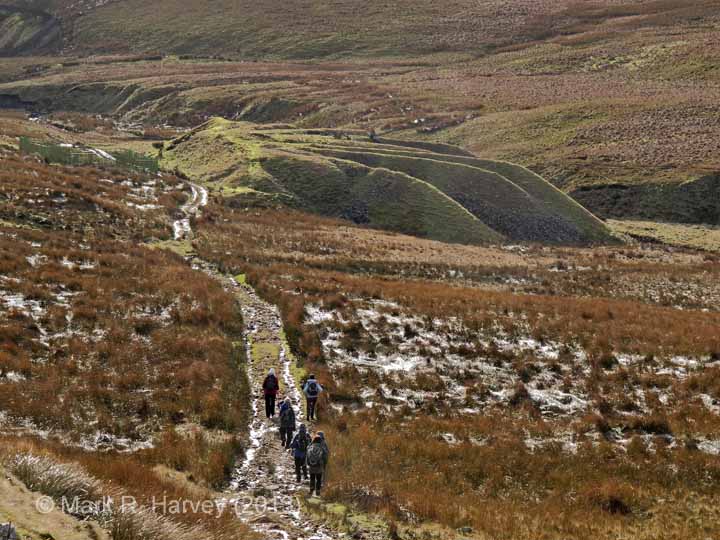
Spoil Tips Beside Blea Moor Tunnel Shaft 2

Photo as per caption. Opens larger version.
Location Type
Archaeological Site
Location Variant
Spoil Tip
Current Use(s)
Disused

47 - Location ID: 250480

Spoil Tips Beside Blea Moor Tunnel Shaft 3

Photo as per caption. Opens larger version.
Location Type
Archaeological Site
Location Variant
Spoil Tip
Current Use(s)
Disused

48 - Location ID: 250680

Spoil Tips Beside Blea Moor Tunnel Shaft B

Photo as per caption. Opens larger version.
Location Type
Archaeological Site
Location Variant
Spoil Tip
Current Use(s)
Disused

Pages


Map

The interactive map below shows the approximate location of all the locations currently assigned to this tour. The marker numbers provide a cross-reference to the sequence numbers in the itinerary.

Show / hide tips
  • The maps and aerial imagery will only be displayed if Javascript is installed on your device and enabled for this domain / sub-domain.
  • Note that the marker-positioning is approximate. (It can never be entirely accurate due to slight variations in the positioning of the map / aerial imagery tiles across different map types and scales.)
  • To view brief details for a location in a small overlay window, click / tap on its marker.
  • The layers button (top-right) can be used to switch between two street map layers and an aerial imagery layer. However, please note that interactive mapping makes heavy demands on the internet connection (to download and resize the maps). Page-loading times and data-usage can be kept to a minimum by using the street map layers (#1, esri-world_street_map layer and #2, esri-world_topo_map layer) rather than the aerial imagery layer (#3, esri-world_imagery layer).
  • To view additional information and / or images relating to a location, click / tap on the location's map-marker, then click / tap on the name / brief description in the pop-up window.
  • For additional tips on using the maps and aerial imagery, see "Using the interactive maps".

Practical Considerations

If you are considering a 'real world' visit to this area, please note the following:

  • The structures between milepost 247 and the Station Master's House are all clearly visible from the station platforms or adjacent car-park.
  • The former Station Master's House is now a holiday let. For further information, see https://settlecarlisletrust.org.uk/stay-at-a-station/.
  • The former main station building now houses a museum dedicated to the Settle-Carlisle Railway and its construction during the late nineteenth century. The museum is operated by the Settle & Carlisle Railway Trust. For further information, see https://settlecarlisletrust.org.uk/ribblehead-visitor-centre/.
  • The famous Ribblehead Viaduct is approximately half a mile from the station, but it can be seen in the distance from the station platforms and the station car-park.
  • It is possible to walk to the viaduct by walking down the station drive, turning right along the B6255, turning left shortly after the cattle grid, then walking along the rough track (a public bridleway) to the foot of the viaduct. Please note that this area is very exposed and that the weather can change dramatically in just a few minutes, often with little or no warning.
  • The landscape near the viaduct contains a large number of archaeological features associated with the construction of the railway (see Ribblehead Railway Construction Camp). However, many of these are located in rough ground well away from the public rights of way and the best way to visit them is by joining one of the Ribblehead Heritage Tours operated by the Friends of the Settle-Carlisle Line. (For further details, see https://www.foscl.org.uk/content/heritage-tours.)
  • The structures beyond (to the north of) the viaduct can be seen from the public bridleway that follows the route of the railway. If you decide to explore beyond the viaduct, stout footwear, warm clothing and a windproof / waterproof jacket are ESSENTIAL (even on what seems to be a hot / sunny day). You are also strongly advised to carry (and know how to use) a suitable map & compass and to carry some food and drink. Please note that reaching the structures beyond the aqueduct will involve a strenuous climb up to the summit of Blea Moor, which should only be attempted by fit, healthy, experienced and properly equipped hill walkers.
  • Do NOT rely on mobile phone coverage: the area is not covered by all networks and, in some areas, signal reception can range from poor to none existent.
  • Useful information for rail-passengers (e.g. details of station facilities, fares and train times) can be obtained from the following:

Bearing in mind all of the above, the area is well worth a visit (although preferably in good weather).